An unusual seismic swarm in the central lowlands of Colombia has produced more than 1,400 recorded earthquakes since September. A magnitude 5.6 tremor on Tuesday morning, felt as far away as Bogotá, has renewed questions about the geological forces beneath Tolima.
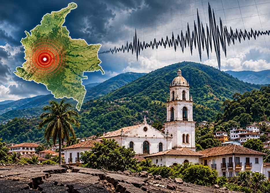
BOGOTÁ — It was a sudden wake-up call for Bogotá when, at 4:13 a.m. on Tuesday, November 3, residents were jolted out of their sleep as buildings rattled and windows shook during a powerful earthquake originating hundreds of kilometres away in Tolima. The tremor, initially reported at magnitude 5.3 before being revised to 5.6 by the Colombian Geological Service (SGC), had its epicentre in the municipality of Chaparral.
With a reported depth of approximately 19 kilometres, the earthquake was felt across the Colombian capital, the foothills of Cundinamarca and Boyacá, as well as the Coffee Region, Valle del Cauca and other parts of the country. The SGC received more than 4,500 reports from residents who felt the movement, while emergency authorities began assessing damage in the affected municipalities.
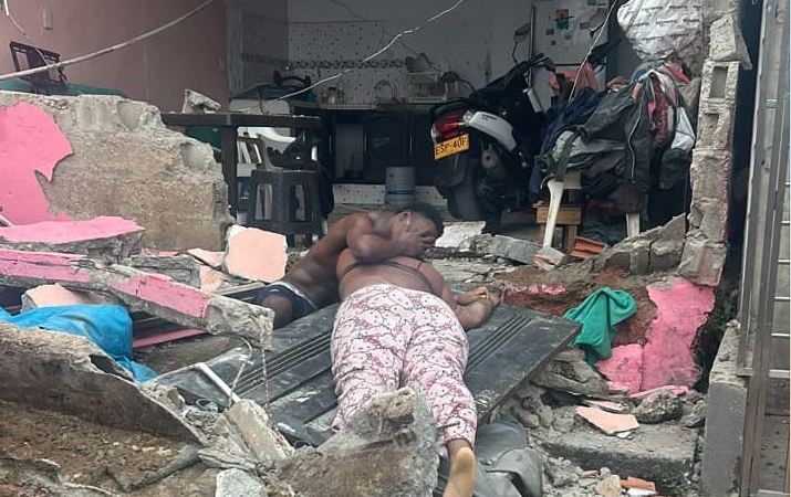
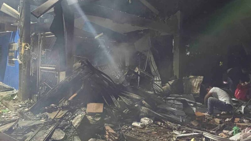
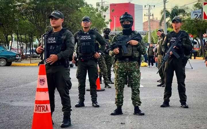
In Chaparral, the consequences were more serious. Mayor Helver González Mora told Noticias Caracol that two women had been injured and that several homes had suffered damage, with some structures reportedly destroyed. Local emergency services also reported a collapsed wall in the Divino Niño neighbourhood and damage to rural properties and commercial establishments. Inspections of homes and educational facilities were subsequently initiated.
Yet Tuesday’s earthquake raises a larger question: why has Chaparral become the centre of such persistent seismic activity since September, and what is happening beneath the mountains of the Central Cordillera?
The answer, according to geologists, lies in a complex network of geological faults and a phenomenon known as a seismic swarm. The pattern is similar, although not necessarily related, to the separate sequence of seismic activity affecting Colombia’s Pacific region following the powerful earthquake of August 10.
The SGC began monitoring the current sequence on September 20. By October 1, its National Seismological Network had located more than 1,100 earthquakes of magnitude 2.0 or greater in Chaparral during the first ten days of the sequence. The authority described it as an unprecedented pattern of activity in the municipality since the national monitoring network began operating.
Subsequent analysis placed the number of recorded events at 1,458 before Tuesday’s earthquake, according to research discussed by the Department of Geosciences at Universidad de los Andes.
Unlike a conventional aftershock sequence, in which smaller earthquakes generally follow a larger initial event, a seismic swarm consists of numerous movements concentrated in the same geographical area over a period of time. There is not necessarily one dominant earthquake responsible for all subsequent activity.
Mónica Arcila, acting technical director of Geoamenazas at the SGC, has explained that Chaparral sits within a particularly complex geological transition between the Central Cordillera and the upper Magdalena Valley. The possibility that the current activity is connected to the powerful magnitude 7.4 earthquake recorded near San José del Palmar, Chocó, on August 10 is also being investigated. Scientists have suggested that the earlier earthquake may have altered the distribution of tectonic stresses, potentially triggering adjustments in fractured rock formations elsewhere.
Arcila cautioned, however, that a direct relationship cannot yet be established. The theory involves the transfer of tectonic stresses and changes in underground pressure, rather than a confirmed connection between the two seismic sequences.
There is also a significant new observation concerning Tuesday’s earthquake.
In an analysis published in Semana, Rodrigo Alejandro León, an assistant professor in the Department of Geosciences at Universidad de los Andes, examined the relationship between the November 3 event and the preceding swarm. His assessment found that the new earthquake occurred along the southwestern extension of the same narrow seismic alignment, although outside the principal concentration of previous movements.
His analysis suggests that approximately 94 per cent of the earlier earthquakes were concentrated in a relatively compact area, situated around 17 kilometres northeast of Tuesday’s epicentre. This geographical relationship is important because it suggests that the latest earthquake may be associated with the broader geological system, even if it did not originate within the swarm’s most active section.
Colombia’s seismic history provides further context. Chaparral has experienced significant earthquakes in the past, including a magnitude 6.7 event in 1997, although that earthquake originated at considerable depth, as well as magnitude 5.3 events in 2007 and 2009.
For residents of southern Tolima, however, the scientific explanations offer little immediate reassurance when the ground continues to move. Tuesday’s earthquake prompted emergency inspections and renewed concerns about the structural resilience of homes and public buildings. Authorities also moved to review the safety of educational facilities.
The SGC continues to monitor the region and has reiterated the importance of consulting official seismic bulletins. Scientists cannot reliably predict when or where another earthquake will occur, nor can the present sequence be interpreted as proof that a larger event is imminent.
For Bogotanos, Tuesday’s early-morning tremor was a reminder that seismic activity in Colombia is not confined to distant mountain communities. For Chaparral, it is part of a much longer and still unfolding geological story.